- In the tea house/guest house/lodge/hotel trek, we don’t want so much apparatus.
- First aid medical kit Camping trek and peak climbing, we can provide all of the cutlery and utensils, cooking pots, stoves; candles/kerosene lanterns, tables, and stools, kitchen tent, eating tent and bathroom tent. All the organic foods at the same time trekking; however, not snacks and the elegant carrier we can control.
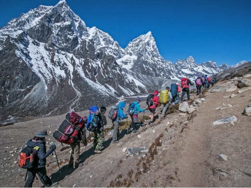
- Two guests for one porter and one respectable trekking advisor.
- All entrance and regional allows may not include. We strongly advise checking inclusion, exclusion, and terms of the condition of individual trekking itineraries.
- You could request us for any additional requirements.
- We provide all meals during trek day and one farewell dinner.
- Except for camping treks and peak climbing, you can ask rate without meals. Otherwise, all itineraries included meals during the trek.
- The sleeping bag is provided if you’re going higher than the 4000M peak.


